Directions
The smugglers’ path: An insight into smuggling activities between Villgraten Tal Valley and Val Casies Valley and focuses on smugglers and customs officials.
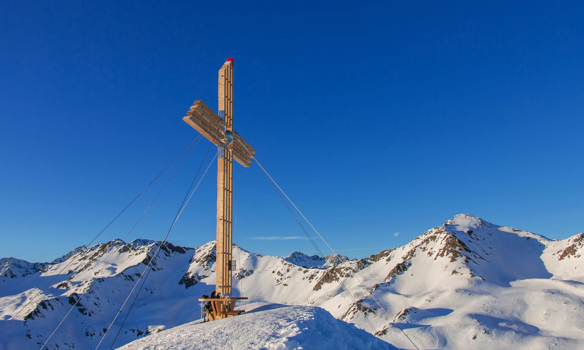
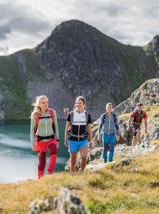
Description: From the head of the valley in the Val Casies Valley/S. Maddalena (1465m) hike along trail no. 48 to reach the Tscharnietalm (1976m) and further to “Kalksteinjöchl” (2349m). Descent on the smuggler’s path (13a) through the Valley Rosstal past the huts Oberlipper and Unterlipper Alm to Kalkstein (1630m) in the Villgratental Valley (A). It is also possible to walk it the opposite way! See map.
Duration: 4-5 hours
Difficulty: medium
The cultivating path: Rural customs, alpine pastures, haymaking, cattle, dairymaids and shepherds are depicted here.
Description: From the head of the valley in the Val Casies Valley/S. Maddalena (1465m) via the Malga di Foi-Pfoital to the Gsieser Lenke, further to the Schwarzsee (2455m) to the Unterstalleralm (1673m) in the Villgratental Valley (A). It is also possible to walk it the opposite way!
Duration: 6 hours
Difficulty: medium
The traditions and customs path: Here it's all about the Val Casies wood turners, medicinal herbs, bad weather, festivity, butter and cheese making.
Description: Starting point in Val Casies Valley/S. Martino (1276m) on the path that leads through Verselltal Valley to Gruber Lenke (2487m) and on to the Alfenalm as far as Kalkstein (1640m) in the Villgratental Valley (A). It is also possible to walk it the opposite way!
Walking time: 4-5 hours.
Difficulty: medium
Info: Once a week there is a hiking bus that takes hikers from Villgratental (A) back to the Val Casies Valley. Return trips from Villgratental (Kalkstein and Unterstalleralm) every Wednesday in July and August. Registration the day before is required, T. +39 0474 978436.