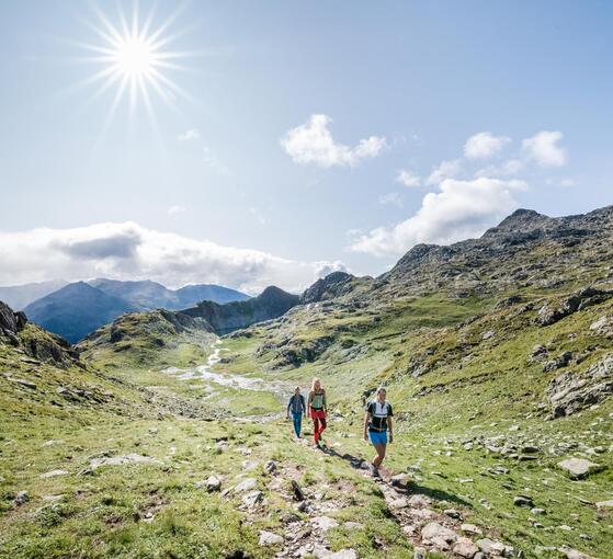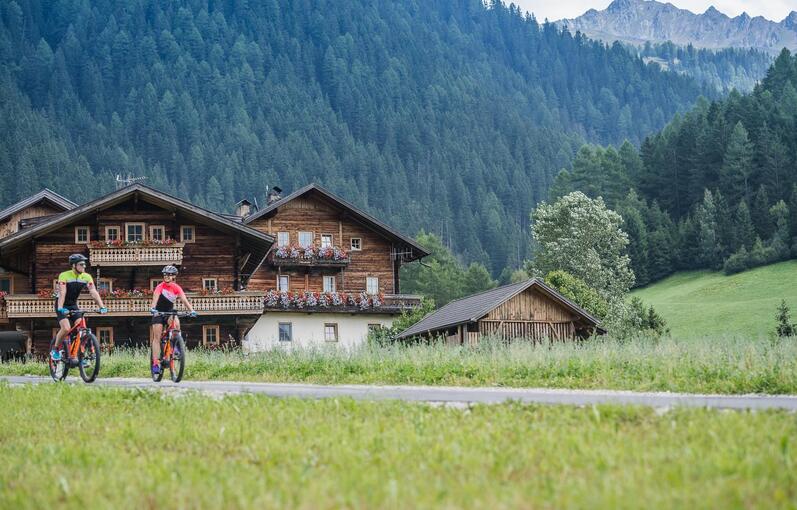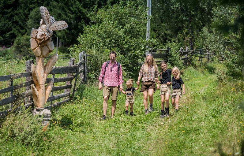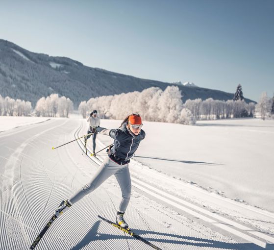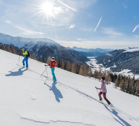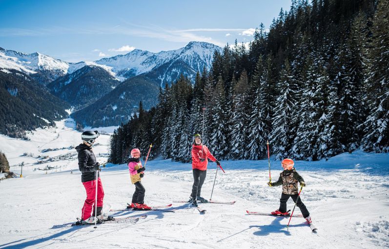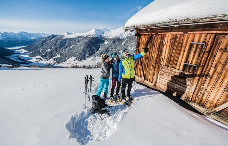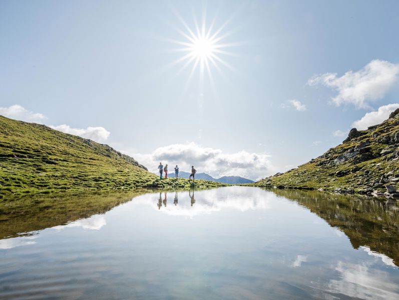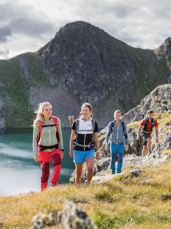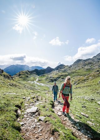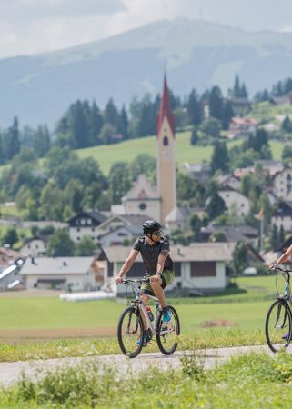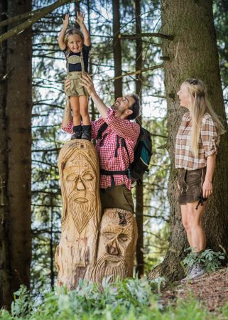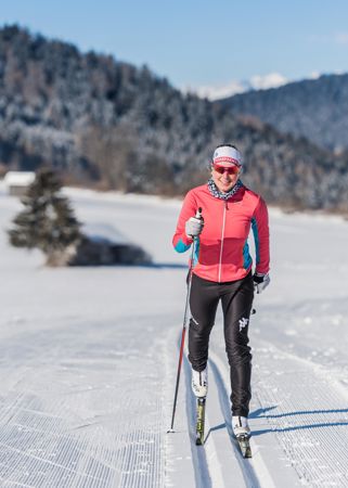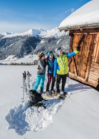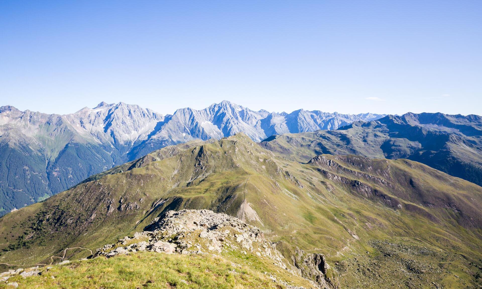
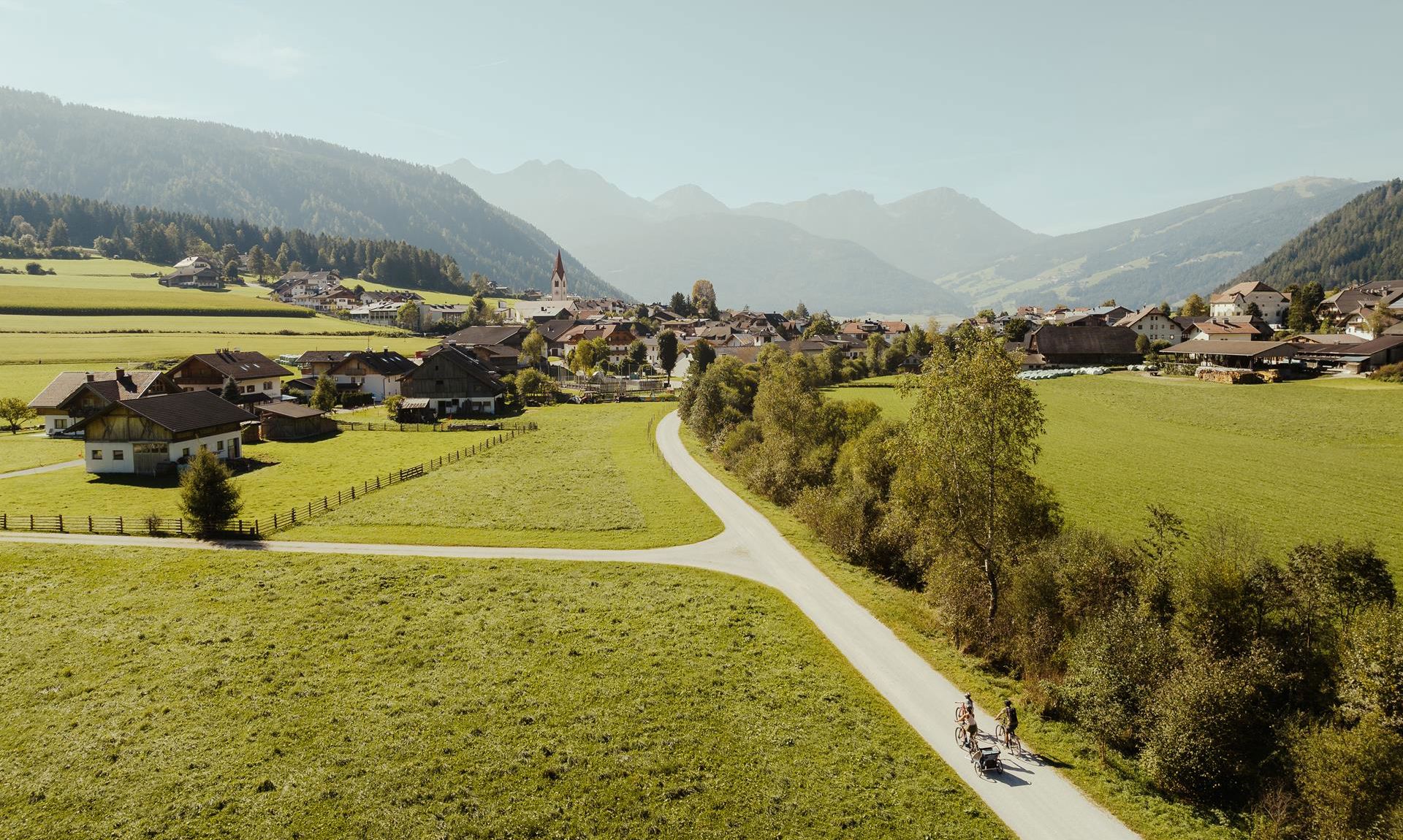
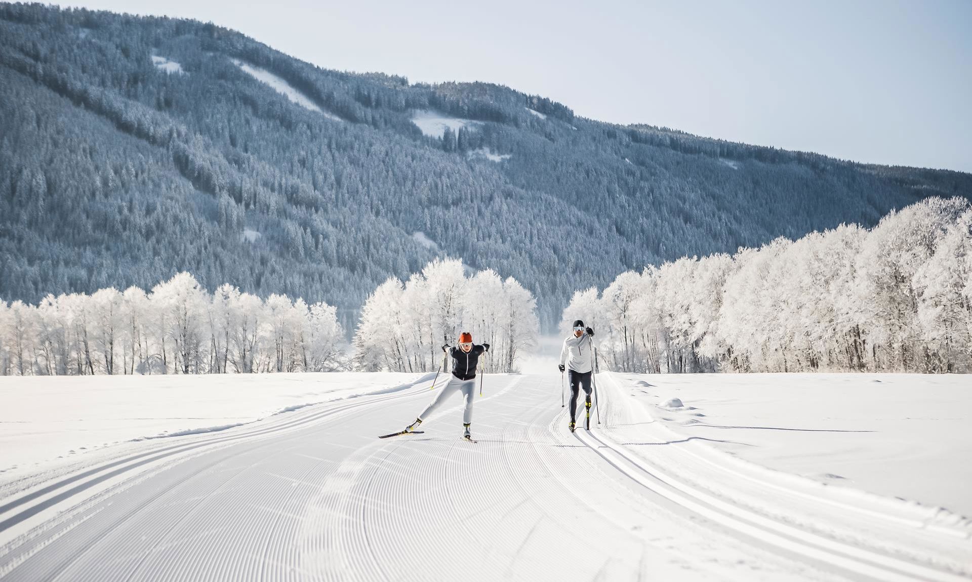
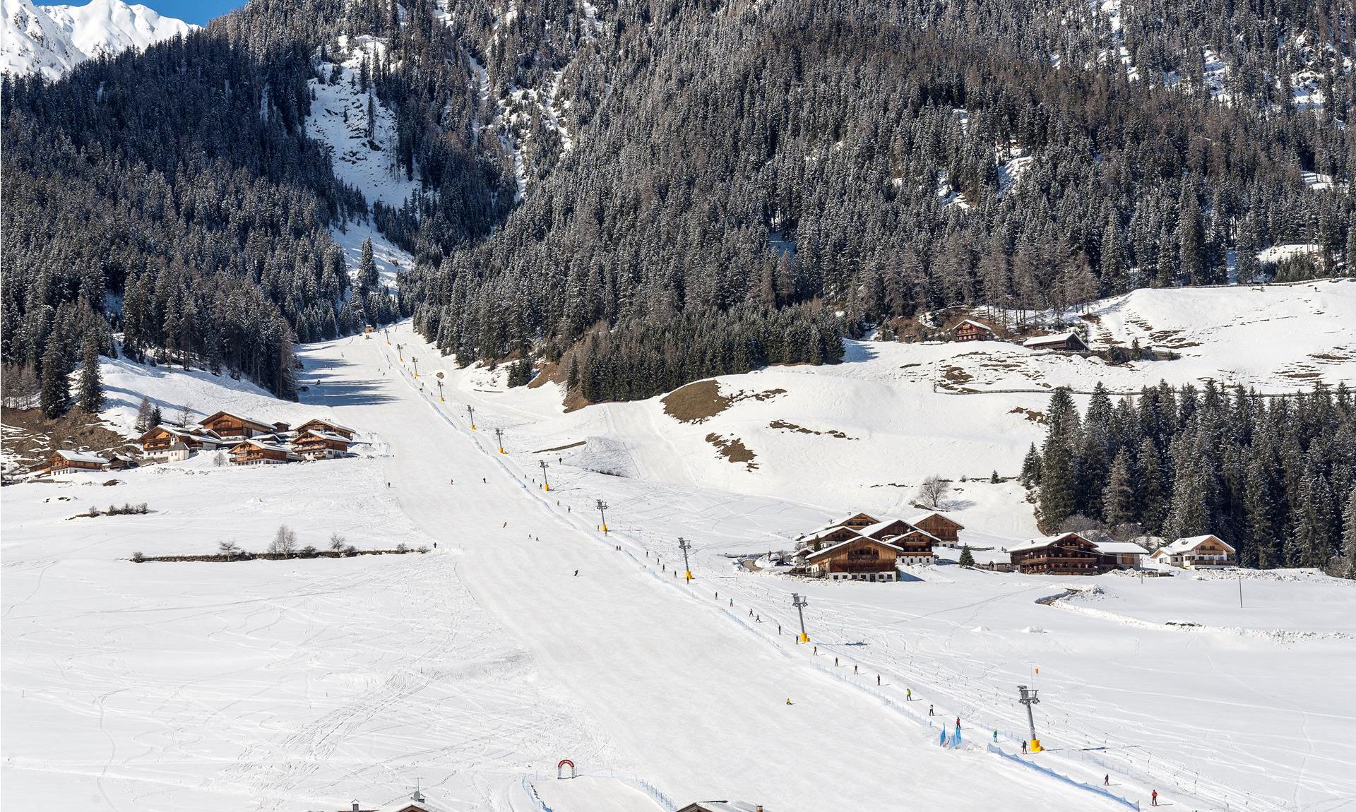
Experience the region actively
Travelling between Plan de Corones/Kronplatz and the Dolomites
We love our Alpine landscape. It gives us the opportunity to be active all year round. Whether at Plan de Corones/Kronplatz, in the Dolomites UNESCO World Heritage Site or on our local mountains - being out and about in this impressive and varied Dolomites Panorama Region surprises us time and time again. The fact that every adventure can start right on our doorstep makes the experience even more wonderful. Look forward to your holiday in the Dolomites, where you can live the Alpine lifestyle without any effort. Look forward to unlimited freedom.