Pustertal Valley bikeway Valdaora/Olang

Val Casies Valley - Monguelfo - Tesido
Add to favourites
Category
Difficulty
Easy
Duration
5:51
in hours
Distance
79.5
in km
Status
closed
Suggested period
Jan
Feb
Mar
Apr
May
Jun
Jul
Aug
Sep
Oct
Nov
Dec

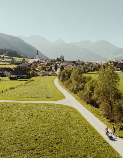
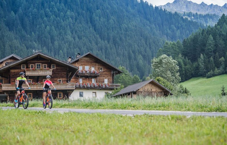
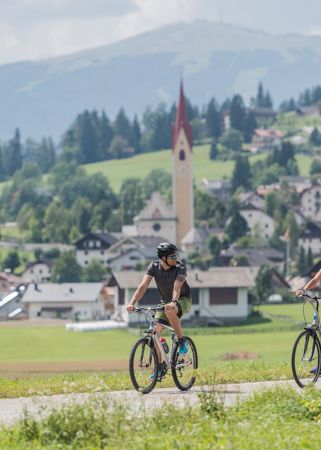
The bike trail of Val Pusteria/Pustertal goes through grasses and fields and crosses in the first part some villages and the little city of Brunico/Bruneck. The good sun exposition makes it practicable also at the beginning of the season, the transport of bikes with the train of Val Pusteria/Pustertal makes independent from the car. The 70 km and the 300 m of altitude difference going out of the valley ask for a basic level of training condition. The trailway offers anyway the advantage of being able to interrupt the trail and cover the remaining part on the train. Also families with kids, in this way, run no risks.

Route data
Easy
Distance
79,5 km
Duration
5 h 51 min
Ascent
1.652 m
Decent
2.044 m
Technical skills
Physical condition
Scenary
Highest point
1.566 m
Lowest point
679 m
How to get there

Coming from Innsbruck/Brenner (A): Drive on the Highway of Brenner (A22) until the exit Brixen/Pustertal, then go on along the SS49-E66 for about 50kms until you arrive in Olang/Valdaora.

Coming from Lienz (A): You can reach us also padding by Lienz in Westtyrol (A). You have to cross the Austrian-Italian border between Ahrnbach and Winnebach (B100-E66) and drive on the SS46-E66 until Olang/Valdaora

Coming from Bozen: Highway of Brenner (A22) until the exit Brixen/Pustertal, then go on along the SS49-E66 for about 50kms until you arrive in Olang/Valdaora.


You might be interested in
Discover related tours
Val Casies Valley - Monguelfo - Tesido
DBG: Sexten - Olang
Distance 35,0 km
Duration 2 h 26 min
Ascent 314 m
Decent 463 m
Status
closed
To the Staller Saddle
Distance 22,2 km
Duration 2 h 37 min
Ascent 1.424 m
Decent 376 m
Valdaora|Olang Lake | © TVB Kronplatz, Udo Bernhard, Ski- und Wandergebiet Kronplatz
Intermediate
Add to favourites
Val Casies Valley - Monguelfo - Tesido
Pustertal|Val Pusteria Bike Route: Leg San Candido|Innichen - Brunico|Bruneck
Distance 34,9 km
Duration 10 h 12 min
Ascent 684 m
Decent 1.034 m
Gsiesertal Valley | © TV Gsiesertal, Tourismusverein Antholzertal
Intermediate
Add to favourites
Val Casies Valley - Monguelfo - Tesido
Through Hamlet Salla to Welsberg and Taisten
Distance 22,7 km
Duration 1 h 55 min
Ascent 1.093 m
Decent 1.093 m
Innichen | © TV Antholzertal, Tourismusverein Antholzertal
Intermediate
Add to favourites
Val Casies Valley - Monguelfo - Tesido
To Innichen
Distance 25,2 km
Duration 1 h 52 min
Ascent 342 m
Decent 184 m
Cycling path in Val Casies Valley | © TV Gsieser Tal_Harald Wisthaler, Gsieser Tal–Welsberg–Taisten
Intermediate
Add to favourites
Val Casies Valley - Monguelfo - Tesido
Bike route Val Casies - Gsieser Tal
Distance 18,3 km
Duration 1 h 31 min
Ascent 425 m
Decent 49 m
Status
closed